how does gps help predict volcanic eruptions? the magma carries a gps device as it travels. scientists can…
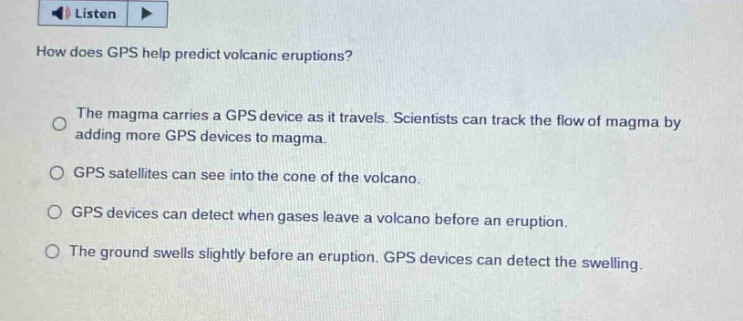
how does gps help predict volcanic eruptions? the magma carries a gps device as it travels. scientists can track the flow of magma by adding more gps devices to magma. gps satellites can see into the cone of the volcano. gps devices can detect when gases leave a volcano before an eruption. the ground swells slightly before an eruption. gps devices can detect the swelling.
Answer
Brief Explanations:
GPS devices are used to measure minute - scale changes in the Earth's surface. Before a volcanic eruption, the ground swells due to the movement of magma beneath. GPS can detect these small ground - surface changes (swelling). Magma doesn't carry GPS devices, GPS satellites can't see into the volcano cone, and GPS isn't used to detect gas emissions directly.
Answer:
The ground swells slightly before an eruption. GPS devices can detect the swelling.