QUESTION IMAGE
Question
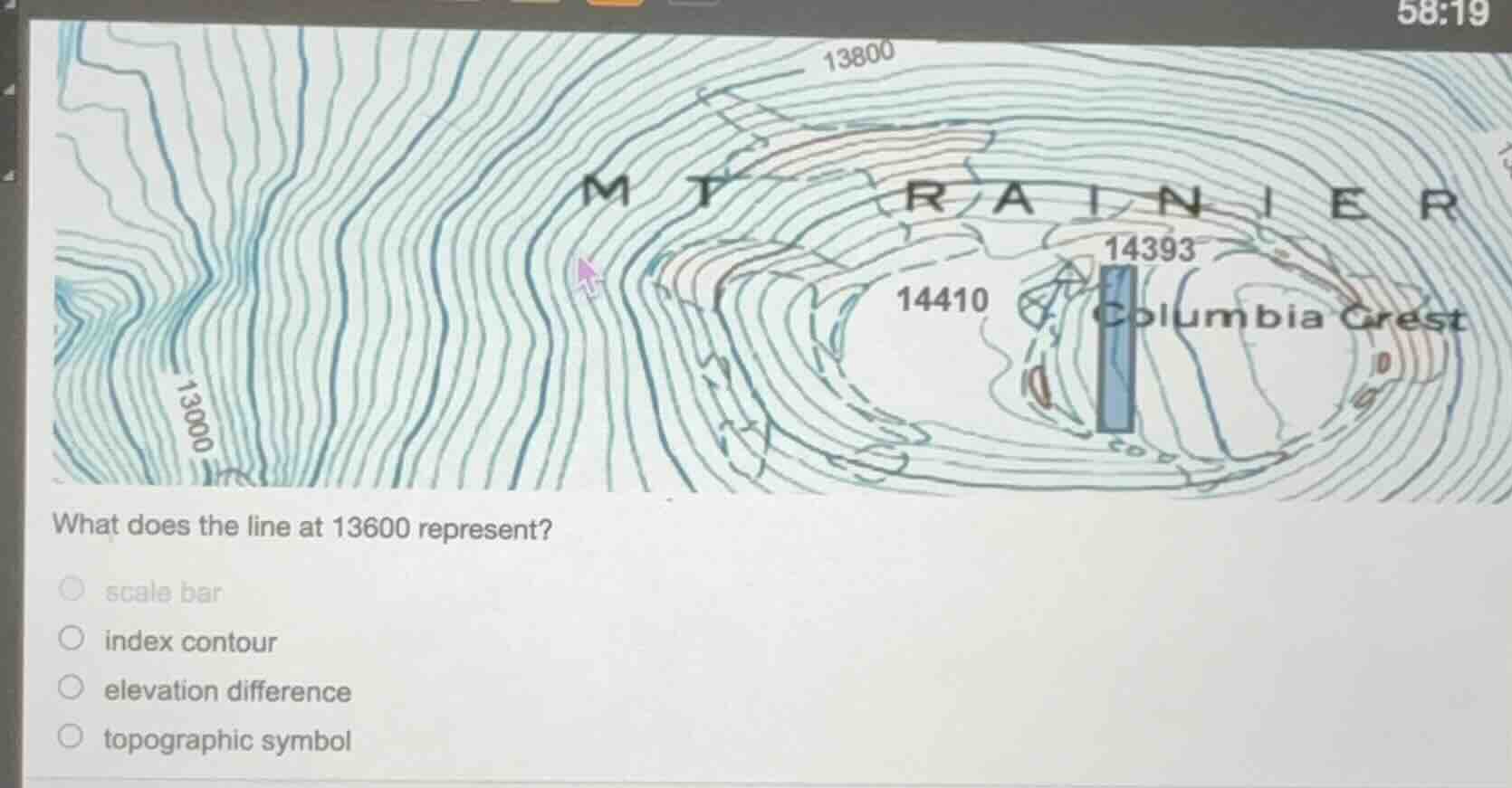
what does the line at 13600 represent?
○ scale bar
○ index contour
○ elevation difference
○ topographic symbol
Brief Explanations
Index contours are labeled contour lines on topographic maps that mark specific elevations, serving as reference points for reading other contour lines. The line marked 13600 (visually consistent with labeled lines like 13000, 13800 here) fits this definition, unlike the other options: a scale bar shows distance, elevation difference is the gap between contours, and a topographic symbol is a general map marker.

Snap & solve any problem in the app
Get step-by-step solutions on Sovi AI
Photo-based solutions with guided steps
Explore more problems and detailed explanations
index contour