QUESTION IMAGE
Question
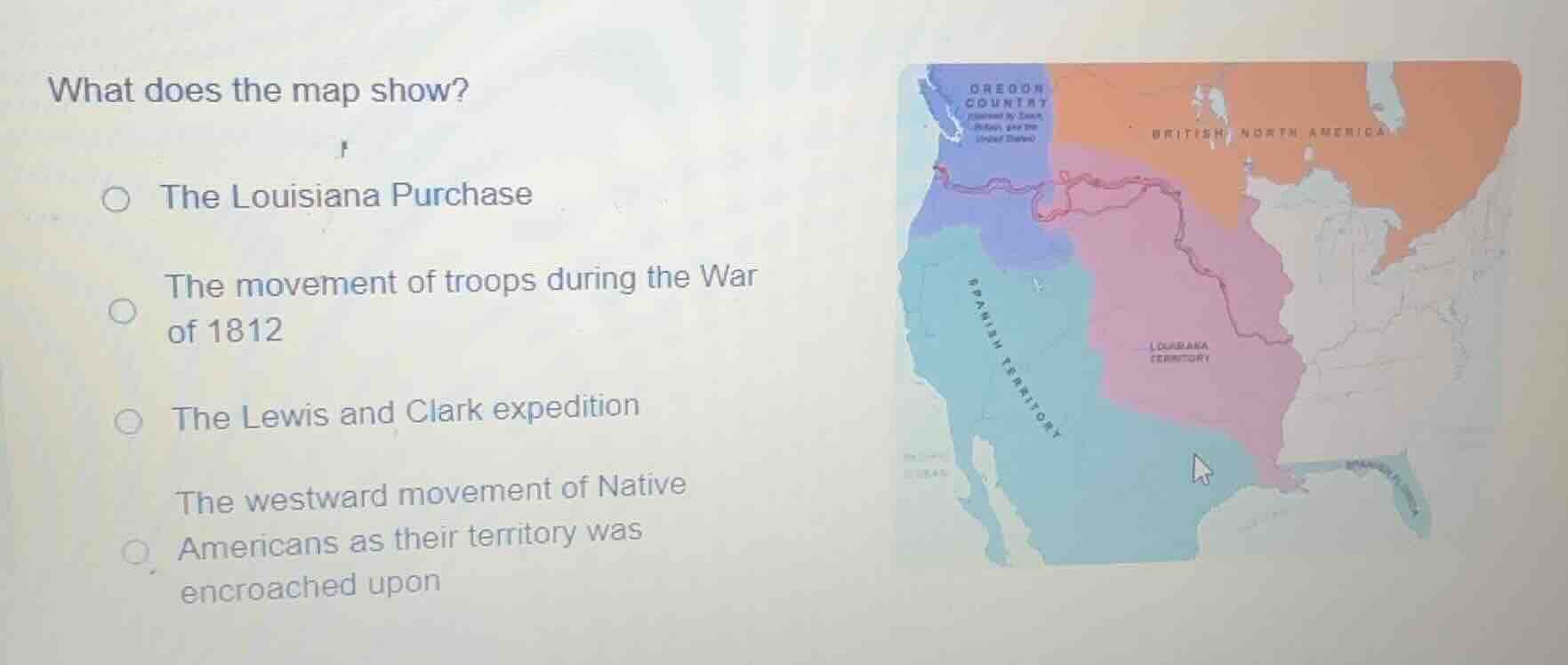
what does the map show?
○ the louisiana purchase
○ the movement of troops during the war of 1812
○ the lewis and clark expedition
○ the westward movement of native americans as their territory was encroached upon
The map shows regions like Louisiana Territory, Oregon Country, Spanish Territory, and British North America, along with a route (likely the Lewis and Clark expedition route). The Louisiana Purchase is a land acquisition, but the map’s route and labeled areas match the Lewis and Clark expedition’s exploration of the newly acquired Louisiana Territory and beyond. Troop movement in 1812 or Native American westward movement don’t align with the map’s features as well as the Lewis and Clark expedition.

Snap & solve any problem in the app
Get step-by-step solutions on Sovi AI
Photo-based solutions with guided steps
Explore more problems and detailed explanations
The Lewis and Clark expedition