QUESTION IMAGE
Question
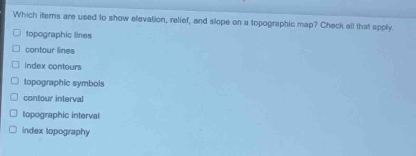
which items are used to show elevation, relief, and slope on a topographic map? check all that apply. topographic lines contour lines index contours topographic symbols contour interval topographic interval index topography
Brief Explanations
- Contour lines (sometimes called topographic lines) connect points of equal elevation, directly showing elevation, relief, and slope via their spacing.
- Index contours are a subset of contour lines, labeled with elevation values to make reading elevation easier.
- The contour interval is the fixed elevation difference between adjacent contour lines, which is critical for calculating slope and relief.
- Topographic symbols typically represent man-made or natural features, not elevation/relief/slope. "Topographic interval" and "index topography" are not standard terms for this purpose.

Snap & solve any problem in the app
Get step-by-step solutions on Sovi AI
Photo-based solutions with guided steps
Explore more problems and detailed explanations
- topographic lines
- contour lines
- index contours
- contour interval