QUESTION IMAGE
Question
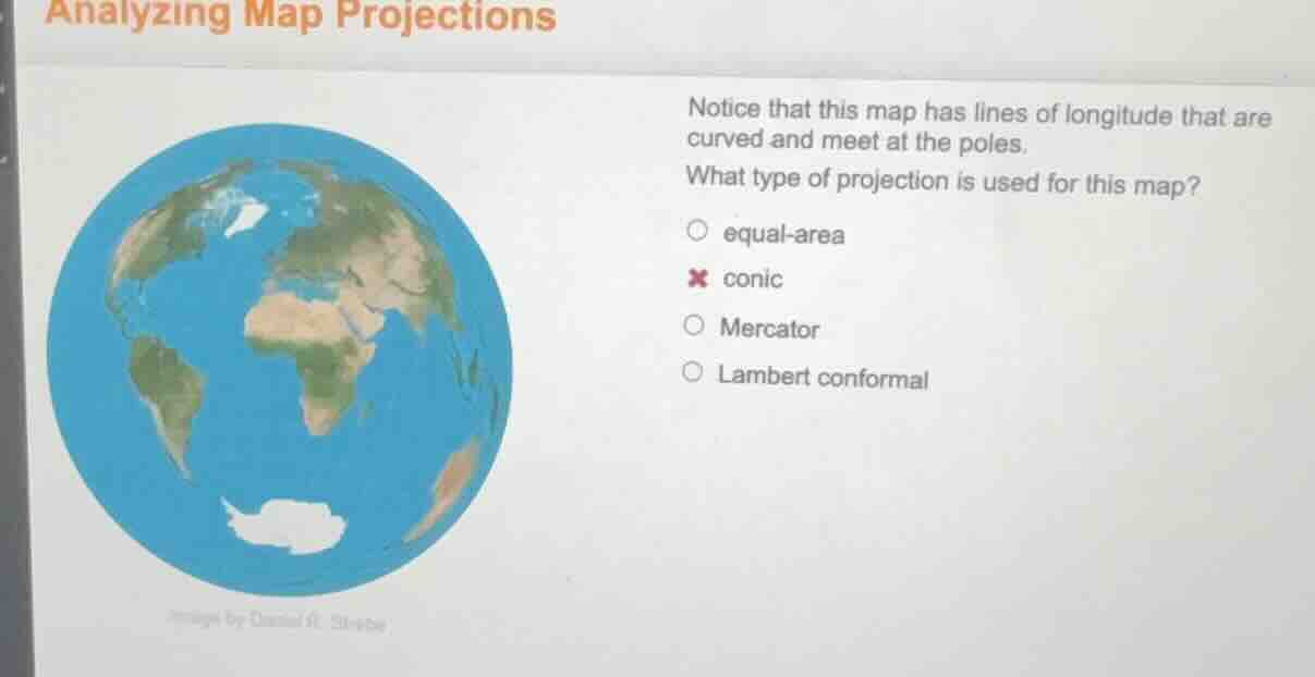
analyzing map projections
notice that this map has lines of longitude that are
curved and meet at the poles.
what type of projection is used for this map?
○ equal - area
× conic
○ mercator
○ lambert conformal
image by daniel r. strebe
Conic map projections project the Earth's surface onto a cone, resulting in curved longitude lines that converge at the poles. Equal-area projections prioritize preserving area over shape/direction, Mercator has straight, parallel longitude lines, and Lambert conformal (a conic type but the general conic category matches the described curved, pole-meeting longitudes here).

Snap & solve any problem in the app
Get step-by-step solutions on Sovi AI
Photo-based solutions with guided steps
Explore more problems and detailed explanations
conic