QUESTION IMAGE
Question
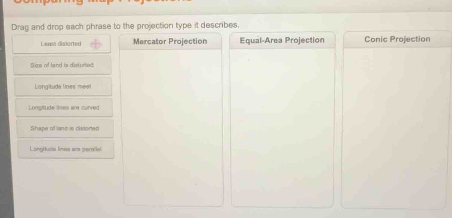
drag and drop each phrase to the projection type it describes.
least distorted
size of land is distorted
longitude lines meet
longitude lines are curved
shape of land is distorted
longitude lines are parallel
mercator projection
equal - area projection
conic projection
Brief Explanations
- Mercator Projection: Preserves shape but distorts area, with parallel longitude lines.
- Equal-Area Projection: Preserves land area but distorts shape, and is among the least distorted for area accuracy.
- Conic Projection: Uses curved longitude lines that converge at poles, minimizing distortion in mid-latitudes.

Snap & solve any problem in the app
Get step-by-step solutions on Sovi AI
Photo-based solutions with guided steps
Explore more problems and detailed explanations
- Mercator Projection: Size of land is distorted, Longitude lines are parallel
- Equal-Area Projection: Shape of land is distorted, Least distorted
- Conic Projection: Longitude lines meet, Longitude lines are curved