QUESTION IMAGE
Question
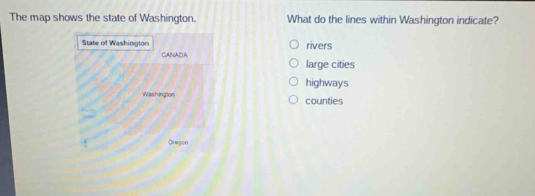
the map shows the state of washington. what do the lines within washington indicate?
○ rivers
○ large cities
○ highways
○ counties
Brief Explanations
On standard state maps, internal lines typically mark county boundaries, which are the standard sub-divisions shown for U.S. states. Rivers are depicted as curved/wavy lines, cities as dots or labels, and highways as distinct styled lines, none of which match the standard internal boundary lines on a state map.

Snap & solve any problem in the app
Get step-by-step solutions on Sovi AI
Photo-based solutions with guided steps
Explore more problems and detailed explanations
D. counties