QUESTION IMAGE
Question
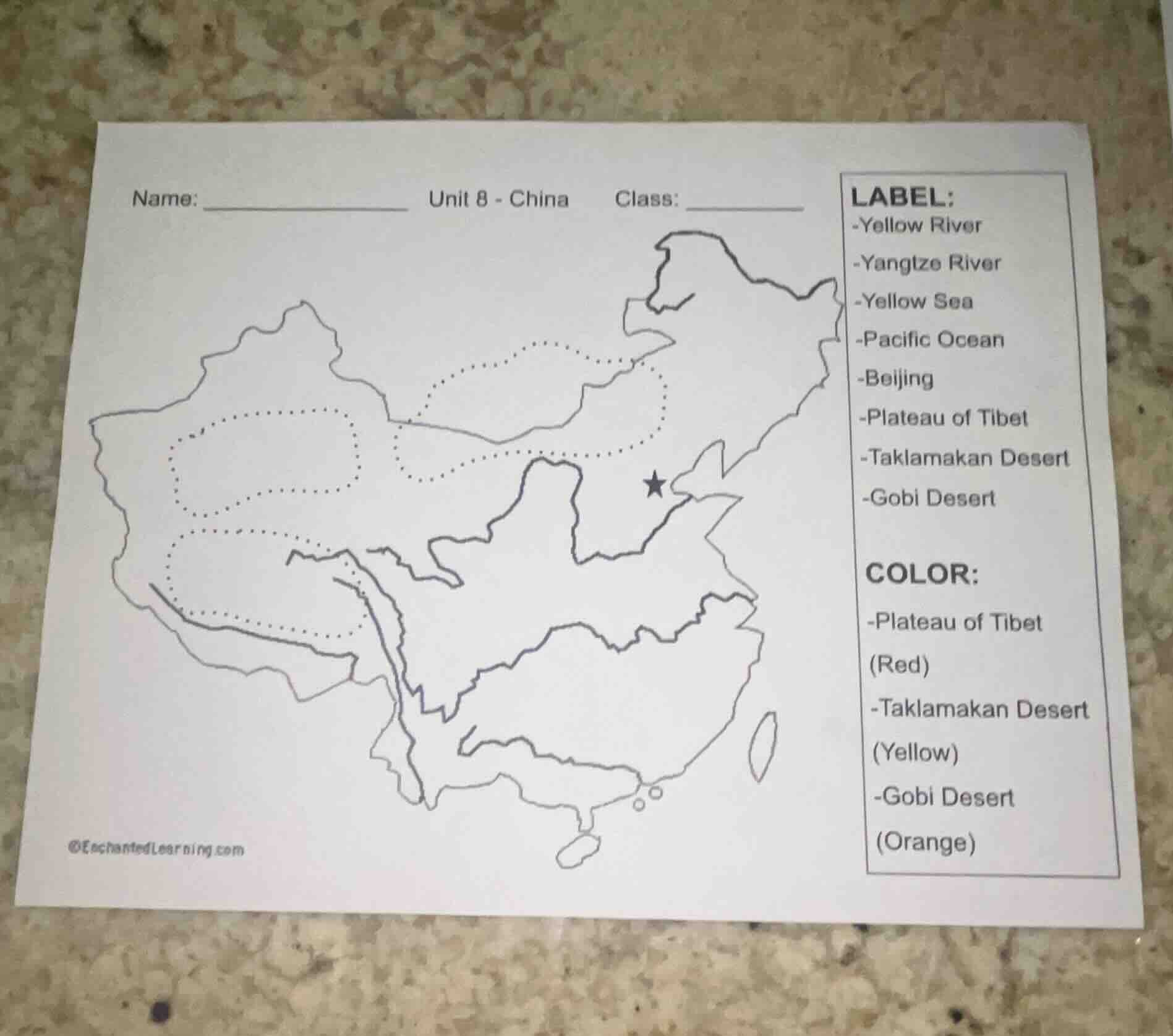
name: _____________ unit 8 - china class: _____________label:-yellow river-yangtze river-yellow sea-pacific ocean-beijing-plateau of tibet-taklamakan desert-gobi desertcolor:-plateau of tibet(red)-taklamakan desert(yellow)-gobi desert(orange)©enchantedlearning.com
Brief Explanations
This is a map labeling and coloring task for China's key geographic features.
- Labeling:
- The star marks Beijing, the capital in northern China.
- The southernmost dotted area is the Plateau of Tibet.
- The western dotted area is the Taklamakan Desert.
- The northern dotted area is the Gobi Desert.
- The Yangtze River is the long southern river flowing east to the Pacific Ocean.
- The Yellow River is the northern east-flowing river emptying into the Yellow Sea, part of the Pacific Ocean.
- Coloring:
- Color the southern dotted Plateau of Tibet red.
- Color the western dotted Taklamakan Desert yellow.
- Color the northern dotted Gobi Desert orange.

Snap & solve any problem in the app
Get step-by-step solutions on Sovi AI
Photo-based solutions with guided steps
Explore more problems and detailed explanations
Labeling (matching to map locations):
- Yellow River: Northern east-flowing river to the Yellow Sea
- Yangtze River: Southern long east-flowing river to the Pacific Ocean
- Yellow Sea: Coastal water body east of northern China, part of the Pacific Ocean
- Pacific Ocean: Ocean east of China's eastern coast
- Beijing: Location marked by the black star in northern China
- Plateau of Tibet: Southernmost dotted region in southwest China
- Taklamakan Desert: Western dotted region in northwest China
- Gobi Desert: Northern dotted region in north/northwest China
Coloring:
- Plateau of Tibet: Red
- Taklamakan Desert: Yellow
- Gobi Desert: Orange