QUESTION IMAGE
Question
remote sensing
remote sensing technology, such as satellite imagery, is used to monitor large - scale environmental changes. this tool is essential for tracking the impact of climate change, deforestation, and other environmental factors. for example, in minnesota, satellite imagery helps scientists observe changes in the landscape, such as the shrinking of wetlands or the impact of climate change on lakes and forests. by continuously monitoring these changes, remote sensing provides valuable data that helps guide environmental protection efforts and predict future trends.
- how does remote sensing help us understand climate change?
it helps us track how forests are growing or shrinking.
it helps us see how much traffic there is.
it helps us build new roads.
it helps us find people who need help quickly.
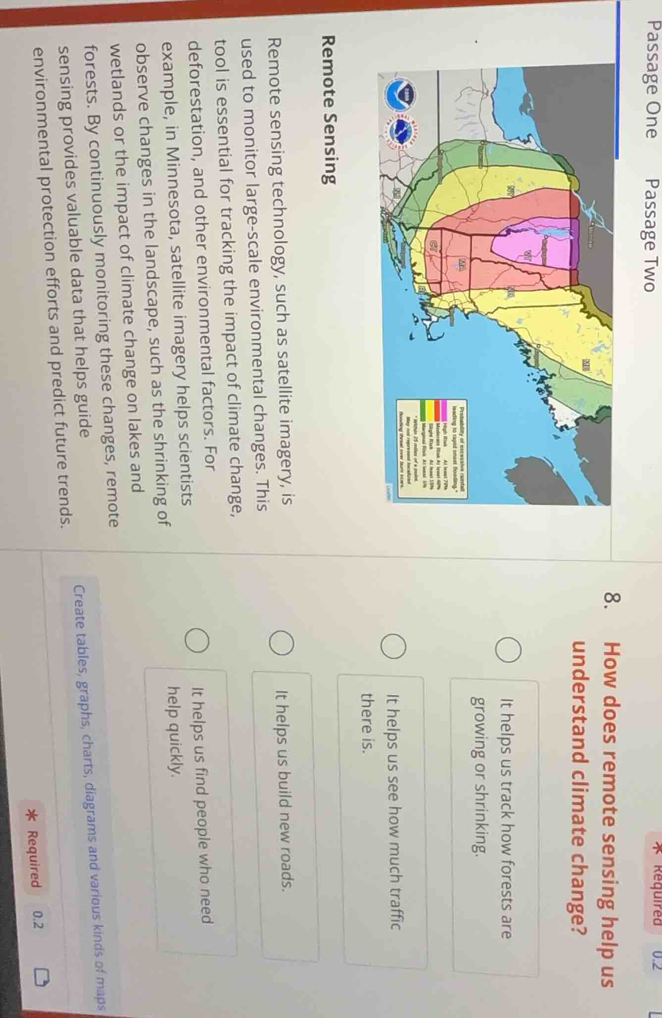
create tables, graphs, charts, diagrams and various kinds of maps
The passage states remote sensing tracks landscape changes like shrinking wetlands, and monitors climate change impacts on lakes/forests, which includes tracking forest growth or shrinkage as a climate change indicator. The other options are not mentioned as climate change-related uses of remote sensing.

Snap & solve any problem in the app
Get step-by-step solutions on Sovi AI
Photo-based solutions with guided steps
Explore more problems and detailed explanations
It helps us track how forests are growing or shrinking.