QUESTION IMAGE
Question
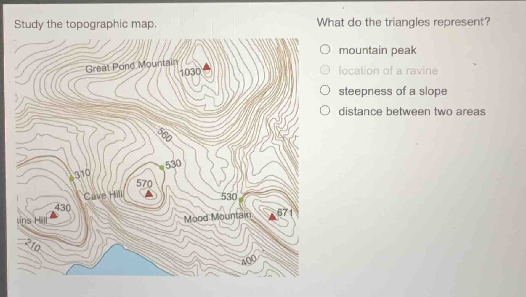
study the topographic map. what do the triangles represent? mountain peak location of a ravine steepness of a slope distance between two areas
Brief Explanations
On topographic maps, triangular symbols paired with elevation numbers and concentric closed contour lines (which mark elevated landforms) are standard symbols for mountain peaks, as they indicate the highest point of a hill or mountain. Ravines are shown by V-shaped contour lines pointing uphill, slope steepness is indicated by contour line spacing, and distance is measured via map scale, not these triangles.

Snap & solve any problem in the app
Get step-by-step solutions on Sovi AI
Photo-based solutions with guided steps
Explore more problems and detailed explanations
mountain peak