QUESTION IMAGE
Question
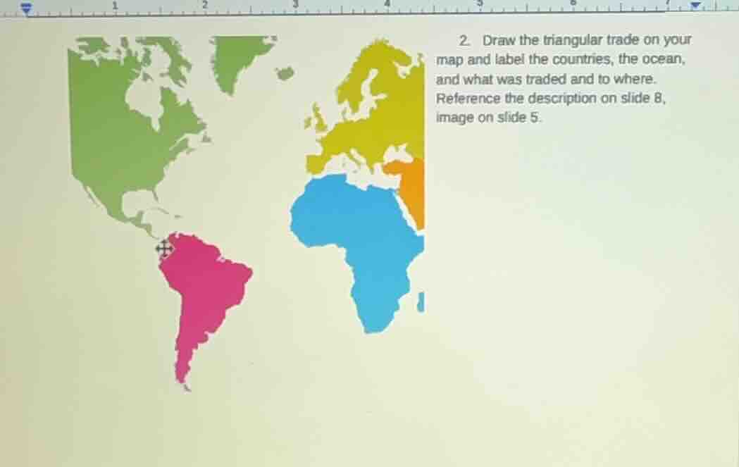
- draw the triangular trade on your map and label the countries, the ocean, and what was traded and to where. reference the description on slide 8, image on slide 5.
Brief Explanations
The Triangular Trade was a three-part transoceanic trade network between Europe, Africa, and the Americas (the Atlantic Ocean was the central waterway for this trade).
- Europe to Africa: European countries (primarily Britain, France, Portugal, Spain) manufactured goods like guns, textiles, and rum were shipped to Africa.
- Africa to Americas (Middle Passage): Enslaved African people were transported from West Africa to the Americas (North and South America, Caribbean) to be forced into labor on plantations and in industries.
- Americas to Europe: Raw materials and cash crops produced by enslaved labor (sugar, cotton, tobacco, molasses, indigo) were sent from the Americas back to Europe to be processed.

Snap & solve any problem in the app
Get step-by-step solutions on Sovi AI
Photo-based solutions with guided steps
Explore more problems and detailed explanations
To complete the map:
- Label regions:
- Yellow: Europe (key nations: Britain, Spain, Portugal, France)
- Blue: Africa (West African coast)
- Green/Pink: Americas (North America, South America, Caribbean)
- Central water body: Atlantic Ocean
- Draw & label trade routes:
- Route 1 (Europe → Africa): Trade goods: Guns, textiles, rum
- Route 2 (Africa → Americas): Trade goods: Enslaved African people (Middle Passage)
- Route 3 (Americas → Europe): Trade goods: Sugar, cotton, tobacco, molasses