QUESTION IMAGE
Question
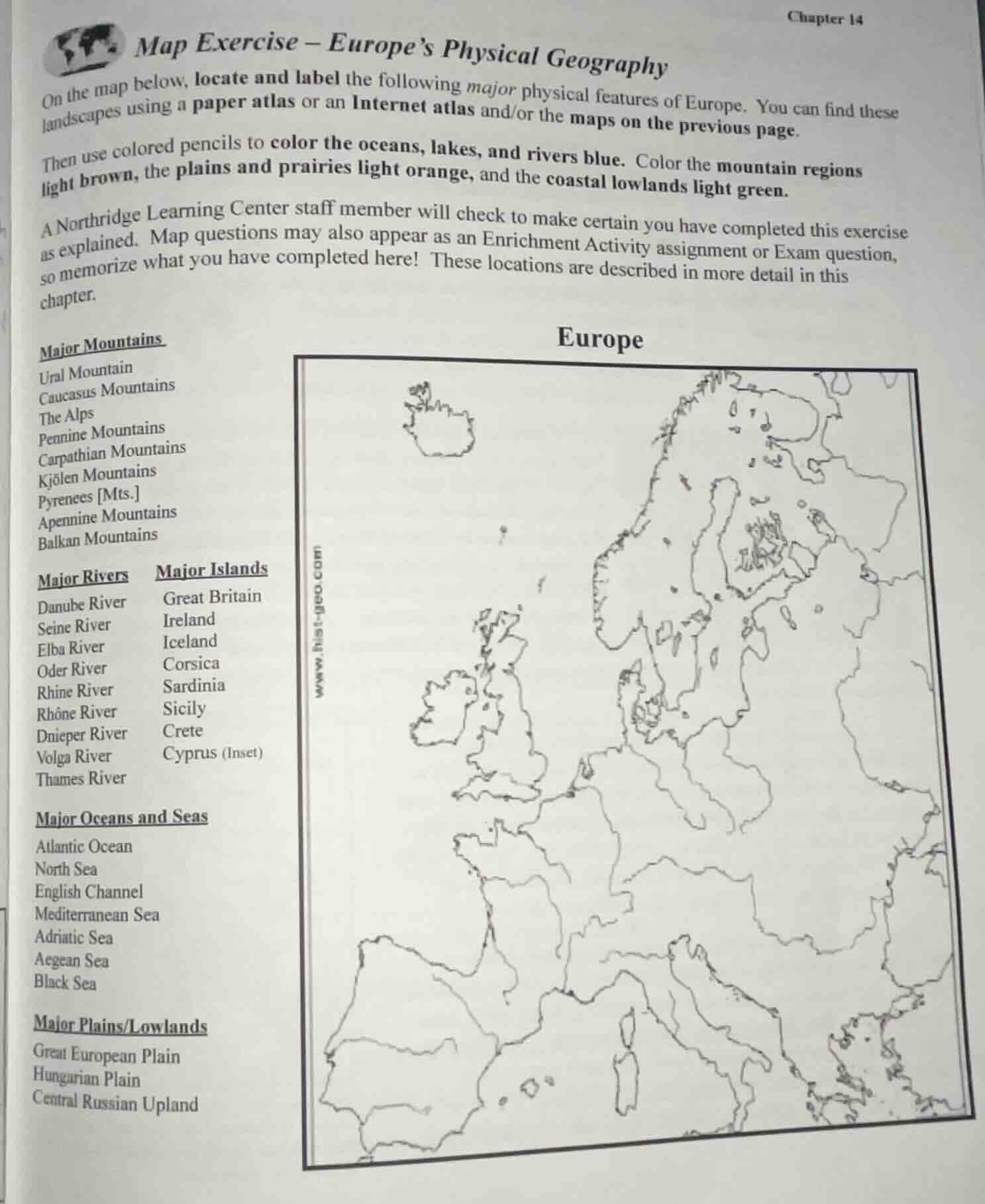
map exercise – europe’s physical geography
on the map below, locate and label the following major physical features of europe. you can find these landscapes using a paper atlas or an internet atlas and/or the maps on the previous page.
then use colored pencils to color the oceans, lakes, and rivers blue. color the mountain regions light brown, the plains and prairies light orange, and the coastal lowlands light green.
a northridge learning center staff member will check to make certain you have completed this exercise as explained. map questions may also appear as an enrichment activity assignment or exam question, so memorize what you have completed here! these locations are described in more detail in this chapter.
major mountains
ural mountain
caucasus mountains
the alps
pennine mountains
carpathian mountains
kjölen mountains
pyrenees mts.
apennine mountains
balkan mountains
major rivers
danube river
seine river
elba river
oder river
rhine river
rhône river
dnieper river
volga river
thames river
major islands
great britain
ireland
iceland
corsica
sardinia
sicily
crete
cyprus (inset)
major oceans and seas
atlantic ocean
north sea
english channel
mediterranean sea
adriatic sea
aegean sea
black sea
major plains/lowlands
great european plain
hungarian plain
central russian upland
europe
This is a geography mapping task. Below are the locations of each feature to label, plus the coloring rules:
- Major Mountains:
- Ural Mountain: Runs north-south, eastern edge of Europe
- Caucasus Mountains: Between Black Sea & Caspian Sea, southeast Europe
- The Alps: Central Europe, spanning France, Switzerland, Austria, Italy
- Pennine Mountains: Northern England
- Carpathian Mountains: Central/Eastern Europe, spanning Slovakia, Poland, Romania
- Kjölen Mountains: Border between Norway and Sweden
- Pyrenees [Mts.]: Border between France and Spain
- Apennine Mountains: Runs north-south through Italy
- Balkan Mountains: Bulgaria and eastern Serbia
- Major Rivers:
- Danube River: Flows from Germany to Black Sea, central/eastern Europe
- Seine River: Northern France, through Paris
- Elba River: Central Italy
- Oder River: Flows through Poland to Baltic Sea
- Rhine River: Flows from Alps to North Sea, western Europe
- Rhône River: Flows from Alps to Mediterranean, southern France
- Dnieper River: Flows through Ukraine to Black Sea
- Volga River: Western Russia, longest European river
- Thames River: Southern England, through London
- Major Islands:
- Great Britain: Large island northwest of mainland Europe
- Ireland: Island west of Great Britain
- Iceland: Isolated island northwest of Great Britain
- Corsica: Island in Mediterranean, southeast of France
- Sardinia: Island in Mediterranean, west of Italy
- Sicily: Island in Mediterranean, south of Italy
- Crete: Island in Mediterranean, south of Greece
- Cyprus (Inset): Island in eastern Mediterranean, south of Turkey
- Major Oceans and Seas:
- Atlantic Ocean: Western edge of Europe
- North Sea: Between Great Britain and mainland northern Europe
- English Channel: Between Great Britain and northern France
- Mediterranean Sea: Southern edge of Europe
- Adriatic Sea: Between Italy and Balkan Peninsula
- Aegean Sea: Between Greece and Turkey
- Black Sea: Southeast Europe, bordered by Romania, Bulgaria, Turkey
- Major Plains/Lowlands:
- Great European Plain: Spans northern Europe from France to Russia
- Hungarian Plain: Central Europe, Hungary and surrounding areas
- Central Russian Upland: Western Russia, south of Great European Plain
- Coloring Rules:
- Oceans, lakes, rivers: Blue
- Mountain regions: Light brown
- Plains and prairies: Light orange
- Coastal lowlands: Light green

Snap & solve any problem in the app
Get step-by-step solutions on Sovi AI
Photo-based solutions with guided steps
Explore more problems and detailed explanations
- Label all features on the map per their geographic locations listed above.
- Color the map following the specified color rules:
- Blue: Oceans, lakes, rivers
- Light brown: Mountain regions
- Light orange: Plains and prairies
- Light green: Coastal lowlands