QUESTION IMAGE
Question
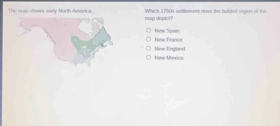
the map shows early north america. which 1750s settlement does the bolded region of the map depict? new spain new france new england new mexico
Brief Explanations
The bolded region covers the St. Lawrence River valley and the Great Lakes area, which was the core territory of New France in the 1750s. New Spain was in the southern/western parts of North America, New England was the northeastern coastal British colonies, and New Mexico was a small Spanish territory in the southwest.

Snap & solve any problem in the app
Get step-by-step solutions on Sovi AI
Photo-based solutions with guided steps
Explore more problems and detailed explanations
New France