QUESTION IMAGE
Question
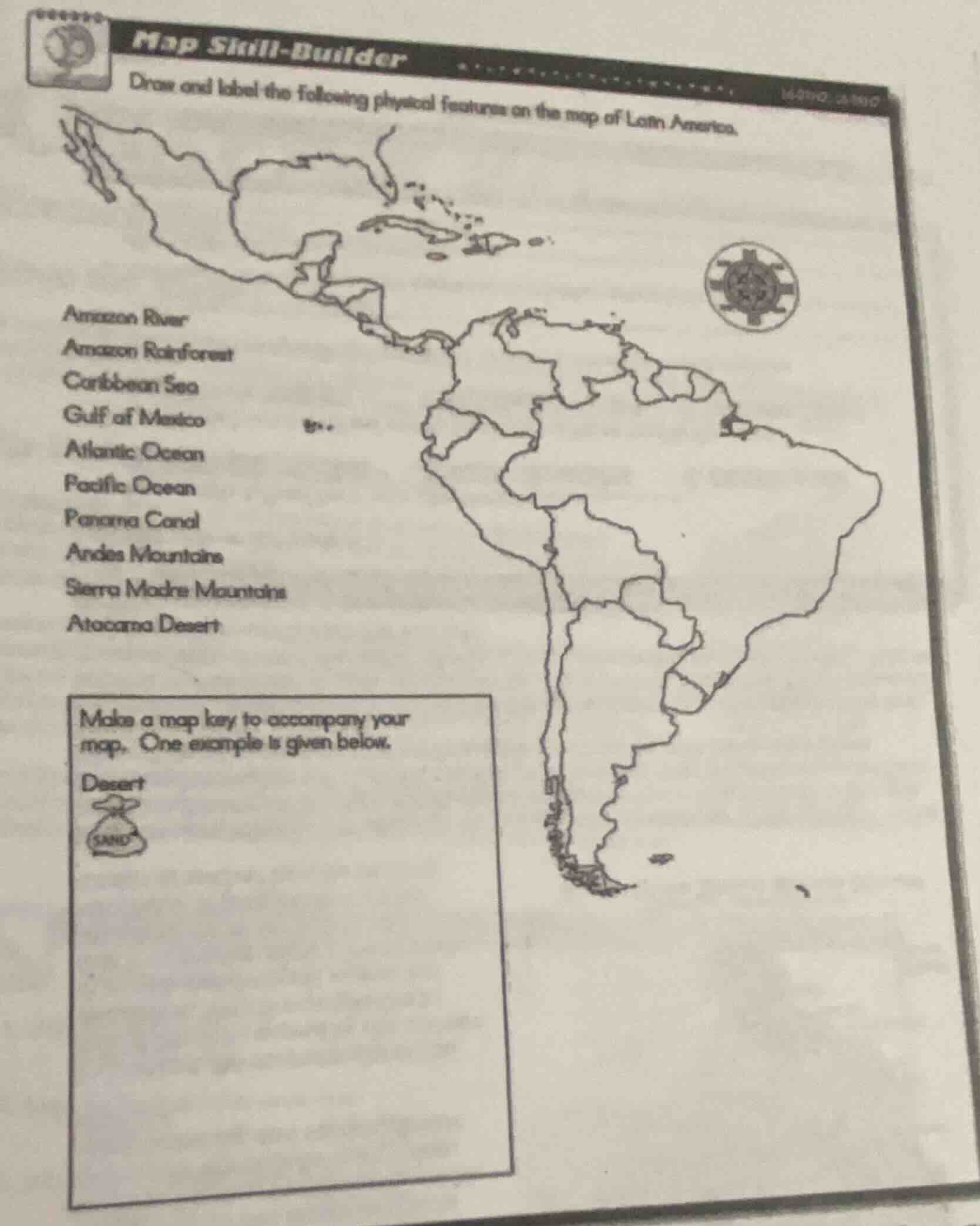
map skill - builder
draw and label the following physical features on the map of latin america.
amazon river
amazon rainforest
caribbean sea
gulf of mexico
atlantic ocean
pacific ocean
panama canal
andes mountains
sierra madre mountains
atacama desert
make a map key to accompany your
map. one example is given below.
desert
sand
To complete this map - labeling task, we first need to recall the locations of each physical feature in Latin America:
- Amazon River: It flows through the northern part of South America, mainly through Brazil. We should draw a wavy line (to represent a river) in the appropriate area of the Amazon basin on the map.
- Amazon Rainforest: It is located around the Amazon River in South America, covering a large area in countries like Brazil, Peru, and Colombia. We can use a green - shaded or patterned area (as per the map - key style) to mark it.
- Caribbean Sea: It is to the north of South America and to the east of Central America. We can label the area between the Caribbean islands and the mainland.
- Gulf of Mexico: It is to the north of Mexico (in North America, part of Latin America's northern region). We mark the area between Mexico and the southern United States.
- Atlantic Ocean: It is to the east of South America. We label the eastern edge of the South American continent.
- Pacific Ocean: It is to the west of South America. We label the western edge of the South American continent.
- Panama Canal: It is in the country of Panama, connecting the Atlantic and Pacific Oceans. We draw a short, straight - ish line (representing the canal) across the Isthmus of Panama.
- Andes Mountains: They run along the western coast of South America, from Venezuela in the north to Chile in the south. We draw a series of triangular or mountain - shaped symbols along the western edge of South America.
- Sierra Madre Mountains: There are the Sierra Madre Oriental and Sierra Madre Occidental in Mexico. We draw mountain - shaped symbols in the northern (Mexican) part of the map.
- Atacama Desert: It is in northern Chile, along the Pacific coast. We use the desert symbol (like the given sand - bag symbol for desert) in the northern Chilean area on the map.
For the map key, we can create symbols for each feature:
- River: A wavy line.
- Rainforest: A green - colored or tree - patterned area.
- Sea/Ocean: A blue - colored area (or just the name label).
- Canal: A straight line with water - like markings.
- Mountains: Triangular symbols.
- Desert: The given sand - bag symbol (or a similar desert - representing symbol).

Snap & solve any problem in the app
Get step-by-step solutions on Sovi AI
Photo-based solutions with guided steps
Explore more problems and detailed explanations
To complete the task, follow these steps:
- Locate and label each physical feature on the map using appropriate symbols (e.g., wavy lines for rivers, triangular symbols for mountains, the given desert symbol for the Atacama Desert, etc.).
- Create a map key that defines each symbol used (e.g., “River - wavy line”, “Desert - sand - bag symbol”, etc.).
(Note: Since this is a practical map - drawing and labeling task, the final answer is the completion of the map with labeled features and a corresponding map key as described above.)