QUESTION IMAGE
Question
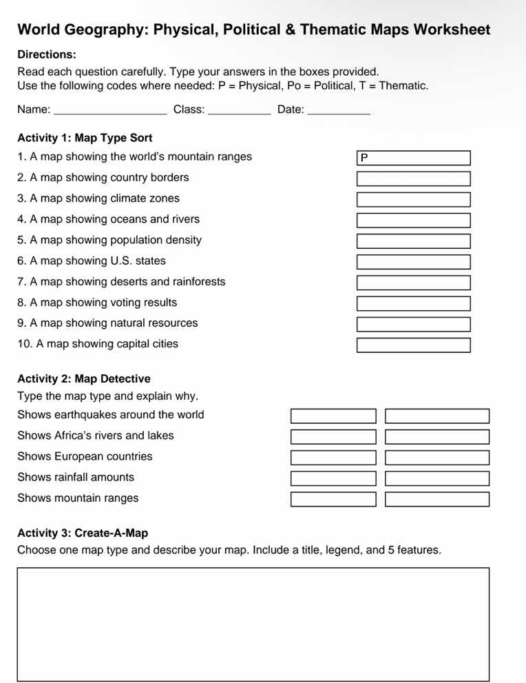
world geography: physical, political & thematic maps worksheet
directions:
read each question carefully. type your answers in the boxes provided.
use the following codes where needed: p = physical, po = political, t = thematic.
name: _____________ class: _____ date: _______
activity 1: map type sort
- a map showing the world’s mountain ranges
- a map showing country borders
- a map showing climate zones
- a map showing oceans and rivers
- a map showing population density
- a map showing u.s. states
- a map showing deserts and rainforests
- a map showing voting results
- a map showing natural resources
- a map showing capital cities
activity 2: map detective
type the map type and explain why.
shows earthquakes around the world
shows africa’s rivers and lakes
shows european countries
shows rainfall amounts
shows mountain ranges
activity 3: create-a-map
choose one map type and describe your map. include a title, legend, and 5 features.
Activity 1: Map Type Sort
Classify each map using P (Physical: natural features), Po (Political: human-made political divisions), T (Thematic: specific thematic data).
Classify map type and explain based on map content (physical natural features, political divisions, thematic focused data).
Design a thematic map with required elements: title, legend, 5 distinct features tied to the theme.

Snap & solve any problem in the app
Get step-by-step solutions on Sovi AI
Photo-based solutions with guided steps
Explore more problems and detailed explanations
- P
- Po
- T
- P
- T
- Po
- P
- T
- T
- Po
---